SISTEM PEMANTAU PERTUMBUHAN POHON DI AREA HUTAN PENAMPUNG AIR TANAH MENGGUNAKAN METODE PENGINDERAAN JAUH (INDERAJA) DAN SISTEM INFORMASI GEOGRAFIS (SIG) DI WILAYAH PROVINSI JAWA TENGAH
DOI:
https://doi.org/10.33633/tc.v14i1.707Abstract
Salah satu penyebab terjadinya tanah longsor dan banjir adalah rusaknya kawasan hutan, namun karena illegal logging , pembukaan ilegal taman , dan perambahan hutan memicu pencabutan hak pengusahaan hutan ( HPH ) , yang diserahkan kepada kendali lokal , tapi tidak berjalan dengan baik . Dari area data akses terbuka pada tahun 2010 ada sekitar 20 juta hektar dan tidak ditindaklanjuti pengelolaannya.Hutan yang telah mengalami kerusakan akibat penebangan liar perlu direhabilitasi.Dengan menggunakan data spasial ini , kegiatan rehabilitasi dapat diidentifikasi dan dimonitor dengan lebih baik. Untuk mencapai tujuan tersebut maka dibutuhkan sebuah sistem yang dapat memantau kegiatan rehabilitasi yang dalam penelitian ini menggunakan data Landsat TM, Data penginderaan jauh dan Sistem Informasi Geografis ( GIS ) merupakan suatu metode yang dapat diterapkan bersama-sama , untuk memantau dan menganalisa data dengan cepat dan akurat . Penelitian ini menggunakan data penginderaan jauh dengan mengumpulkan fitur tutupan lahan di daerah tertentu yang terjangkau ke seluruh pelosok area hutan penampung air tanah di Provinsi Jawa Tengah . Sistem Informasi Geografis digunakan untuk menangkap dan menganalisa data pertumbuhan pohon . Hasil yang diharapkan adalah terwujudnya sistem informasi geografis yang dapat memantau pertumbuhan pohon di area hutan penampung air tanah di wilayah Provinsi Jawa Tengah. Kata Kunci : data spasial, Landsat TM, Remote Sensing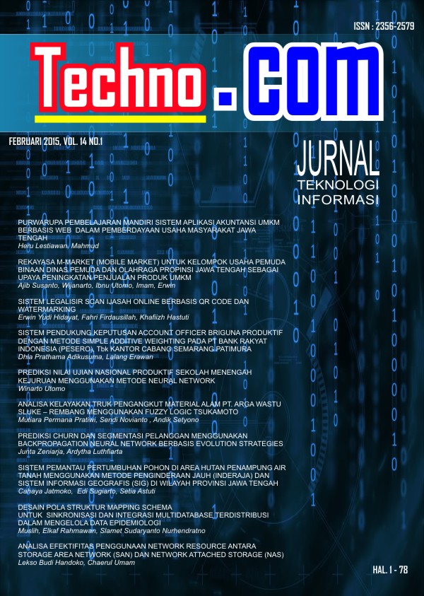
Downloads
Published
Issue
Section
License
Copyright (c) 2015 Cahaya Jatmoko, Edi Sugiarto, Setia Astuti

This work is licensed under a Creative Commons Attribution-NonCommercial 4.0 International License.
License Terms
All articles published in Techno.COM Journal are licensed under the Creative Commons Attribution-NonCommercial 4.0 International (CC BY-NC 4.0). This means:
1. Attribution
Readers and users are free to:
-
Share – Copy and redistribute the material in any medium or format.
-
Adapt – Remix, transform, and build upon the material.
As long as proper credit is given to the original work by citing the author(s) and the journal.
2. Non-Commercial Use
-
The material cannot be used for commercial purposes.
-
Commercial use includes selling the content, using it in commercial advertising, or integrating it into products/services for profit.
3. Rights of Authors
-
Authors retain copyright and grant Techno.COM Journal the right to publish the article.
-
Authors can distribute their work (e.g., in institutional repositories or personal websites) with proper acknowledgment of the journal.
4. No Additional Restrictions
-
The journal cannot apply legal terms or technological measures that restrict others from using the material in ways allowed by the license.
5. Disclaimer
-
The journal is not responsible for how the published content is used by third parties.
-
The opinions expressed in the articles are solely those of the authors.
For more details, visit the Creative Commons License Page:
? https://creativecommons.org/licenses/by-nc/4.0/